
I’ve been banging on about Anglia Square for some time now, mainly because it’s been hanging in the balance for what seems like an eternity but also because the scales of its future are now about to tip one way or another – but don’t worry – I’m not going to go off on one again about it all as I’ve written more than my fair share of opinions about the development lately. This will just be a fairly simple post put together to share some (actually, a load of) fantastic images taken of the area on which Anglia Square was built as Sovereign House reached for the sky back in the late 1960’s.
These pictures were kindly provided by Reg Walker, a former H.M.S.O. employee and guardian of the HMSOldies website who I had the fortune of meeting whilst being part of a film shot inside the abandoned Sovereign House back in 2012. To me this is a brilliant collection of high-quality images that offer us a fascinating insight in to what we currently refer to as Anglia Square and I’ll add a few notes to some of the images to highlight some of the interesting details that can be spotted if you look a little closer. Continue reading “H.M.S.O. Sovereign House.”


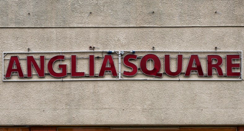 If you’re from Mile Cross or from anywhere in the northern parts of the City, chances are you’ll be more than familiar with the shoppers’ delight that is Anglia Square. It’s been a bit of a magnet for generations of North Norwich folk and often used as an alternative to heading all the way into the City to get your supplies. If – like me – you are one of those people to have visited Anglia Square more times than you’d care to remember, chances are you’ve been walking a well-worn route southwards, and you’ve been treading your way there in some very old footsteps. Those Roads (and the paths that preceded them) have been well trodden for centuries and the land on which Anglia Square currently resides is the original and oldest part of the human settlement we now call Norwich.