Chalk and Putty

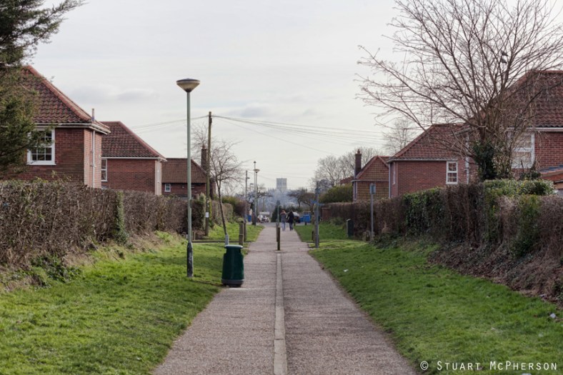
Our beloved Mile Cross is sat on a bedrock of chalk, and on top of this chalk sits the deposits of gravels and clay left behind when the Ice sheets receded during the last Ice age. For millennia after the Ice sheets retreated northwards from where they came, the Wensum has been hard at work, slowly stripping back those layers as it snakes its way back and forth across the landscape, digging out what is now the Wensum Valley and helping to define the topography of the Estate we are familiar with now.

As it does so it exposes the chalk bedrock making it easier for the many generations of humans to excavate:Putty9 
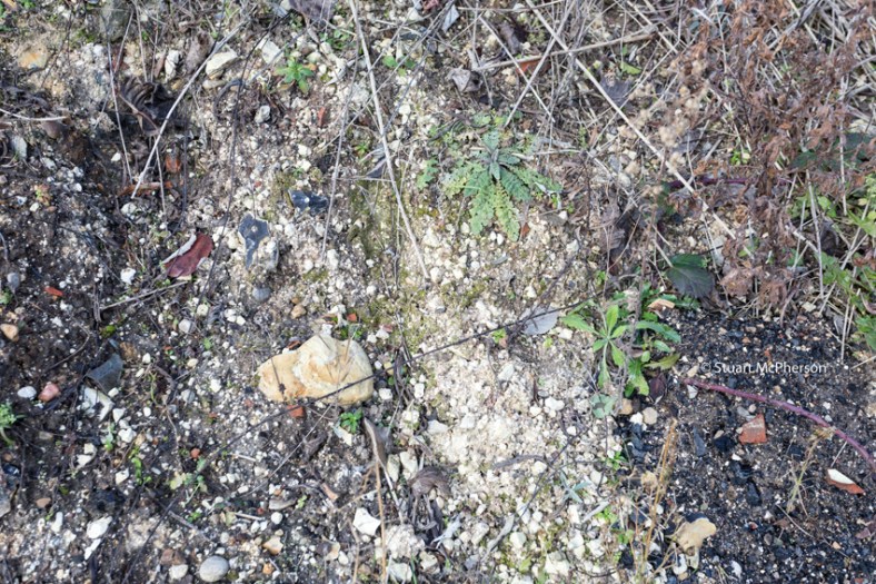
Continue reading “Chalk and Putty”

Mile Cross – topography to the point

Before I start, here’s a little warning to let you know that you’re going to see the word “point” a lot. Sorry.

At the very south-western extreme of the estate, the two major boundary routes, the Fakenham and Aylsham Roads meet at a single point. It’s at this point (I did warn you) that you can get a real feel for the topography of the estate. Aylsham Road heads uphill slightly all the way up to the Boundary, and the Fakenham road drops away sharply as it heads off down into the bottom of the Wensum Valley before slowly creeping back up towards Hellesdon. Even out here, Norfolk is far from flat.

MXpoint Continue reading “Mile Cross – topography to the point”