Before I start, here’s a little warning to let you know that you’re going to see the word “point” a lot. Sorry.
At the very south-western extreme of the estate, the two major boundary routes, the Fakenham and Aylsham Roads meet at a single point. It’s at this point (I did warn you) that you can get a real feel for the topography of the estate. Aylsham Road heads uphill slightly all the way up to the Boundary, and the Fakenham road drops away sharply as it heads off down into the bottom of the Wensum Valley before slowly creeping back up towards Hellesdon. Even out here, Norfolk is far from flat.
The whole estate sits on the side of this Valley and it tends to slope downhill from the North, it’s only real level bit is to the North of Soleme Road. The Farmer(s) who owned the land prior to the estate would have had lovely, uninterrupted views of the Wensum Valley over towards Heigham and I wonder if they ever looked up from their horse-drawn ploughs to take it all in.
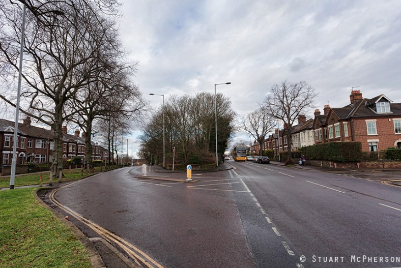
Back to the point (groan) and the V-shaped junction shown in the image is home to an interesting little Island of land on which used to sit Point House and its Timber Yard. I say V-shaped, but like most of the junctions with this fluid layout in Mile Cross it was ‘chicaned’ in the 1990’s to stop the estate’s budding Damon Hill’s trying to take them at breakneck speeds (more on that later). Point house sat between the Fakenham and Aylsham Roads facing outwards, towards the Cathedral. The house and the timber yard disappeared at some point in the 1960’s or 1970’s and were replaced by a handful of garages, surrounded by a lost-looking and tiny patch of woodland.
Outside Point house sat a large concrete water trough for Horses and a drinking fountain for pedestrians. No doubt these would have been welcome relief for the wary travelers of old as they made their way into the city from the villages of North Norfolk. Sadly, at some point both were removed, presumably no longer needed and presumably at the same time as the removal house and the yard.
Point House and the trough can be seen in this Norfolk County Council Image taken in the 1965.
Behind Point House and its timber yard lays another intriguing piece of woodland that I can’t really pin any history on. It’s a larger piece of land that used to have a large house in the North Western Corner entered along the Aylsham Road. After the second World War a couple of larger structures built were upon it, presumably used by the Timber Yard opposite, but they disappear again before 1962 and the trees were left to reclaim the land. If anybody has any info on this patch of land I’d love to hear from you (leave a comment or sling me an email).
The grand Victorian-era houses on the opposite sides of the roads here predate the estate by some time and although they fall under the Mile Cross Ward boundaries as they shift about, these are not really part of the estate. Some of their residents however may well disagree with me. The houses to the left arrived in the late 1800’s and were built on the site of the (earlier) Green Hills Pub (previously the ‘New Inn’) and the Green Hills plantation.
A higher res copy of the original image can be found here on my Flickr.
Once again, thanks for reading.
Stu.

2 thoughts on “Mile Cross – topography to the point”